The Tough Stuff - 84 Epic COURSE DESCRIPTION
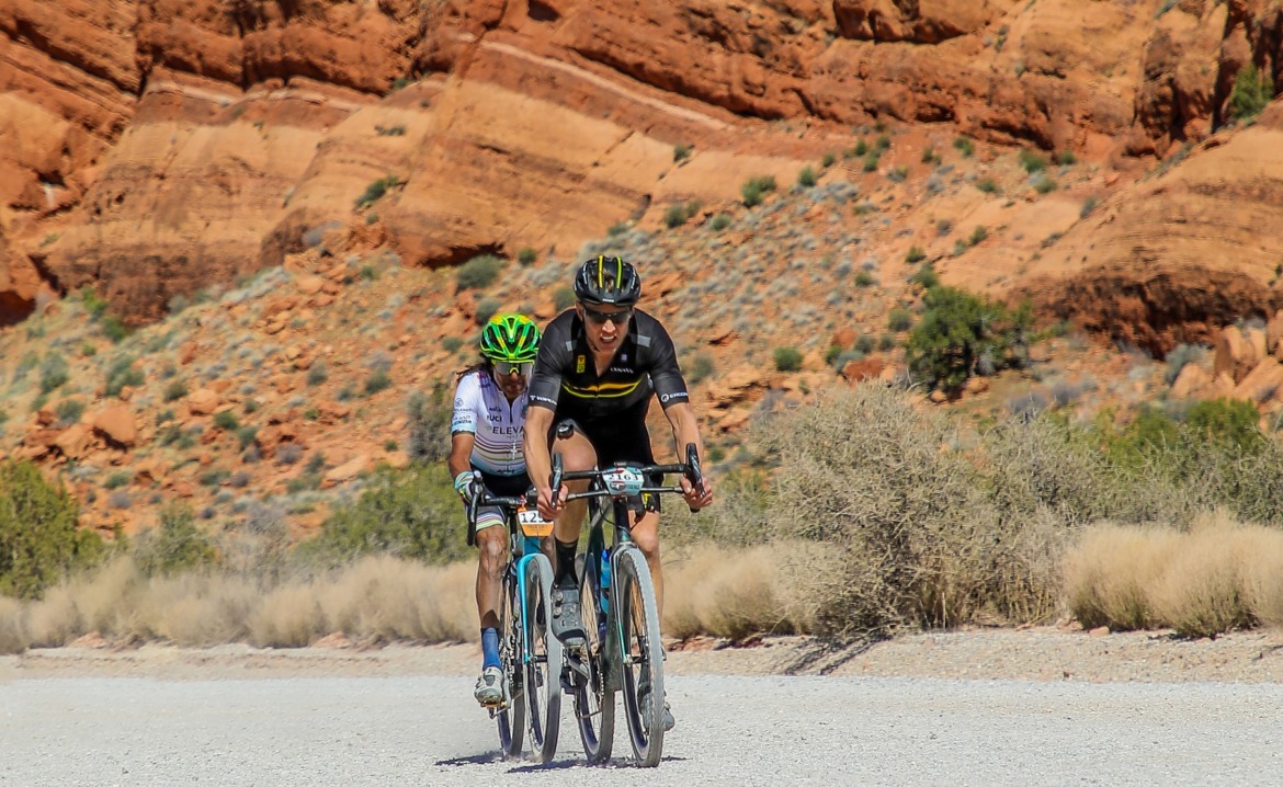
Just like our mountain bike races, this gravel course is worthy of the True Grit title. The course is 80% off-road, 84 miles, and 9000 ft of climbing. Pure Gravel Bliss! .
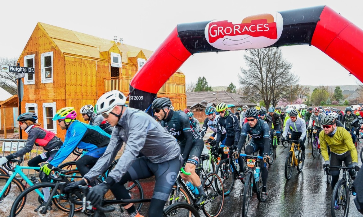
The course starts at the Santa Clara town hall with a 7 mile escorted neutral start through St George to Navajo Dr and the start of the dirt. The Course proceeds 2 miles west on Curly Hollow Road to the wash Bloomington Cave Junction, then takes the left fork (12.1) and follows Blakes Dugway to the crest of the slope. You will encounter several steep pitch climbs in this section as the course approaches Hard Rootbeer Hill at mile 21.
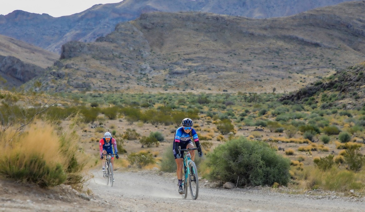
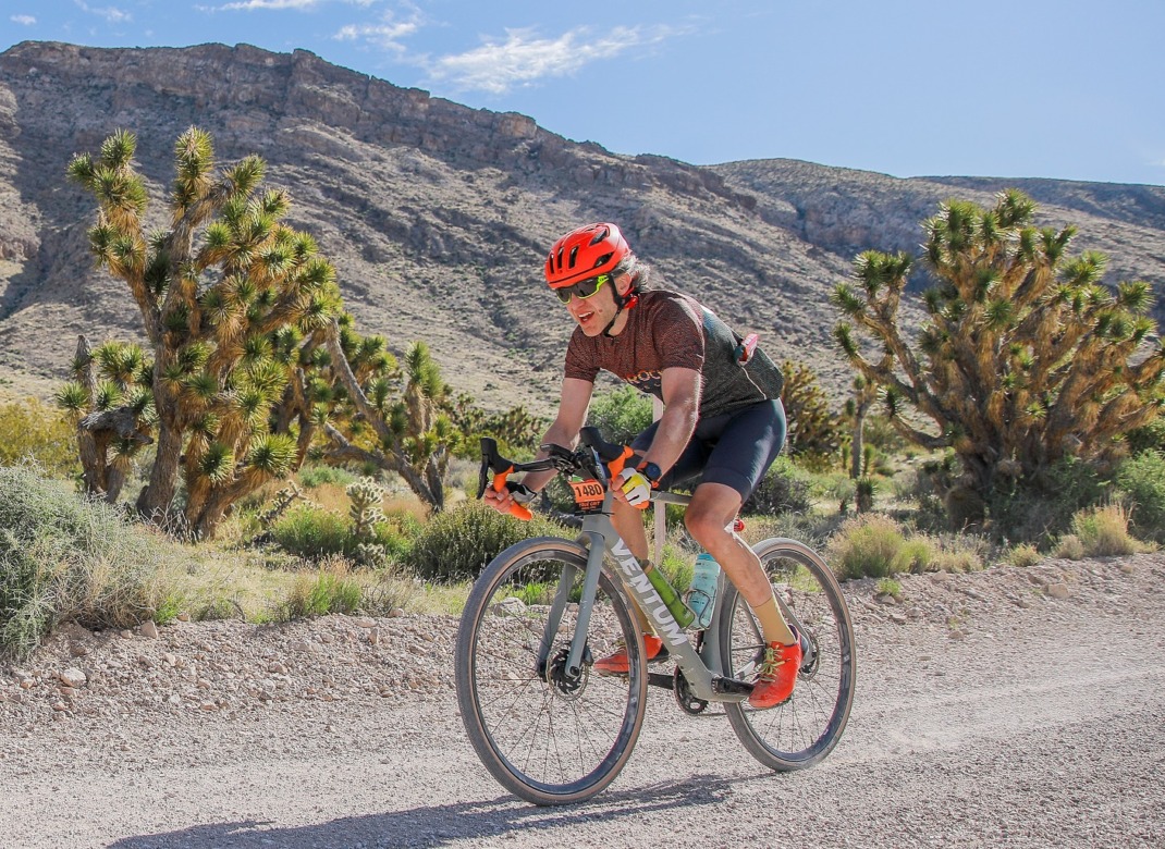
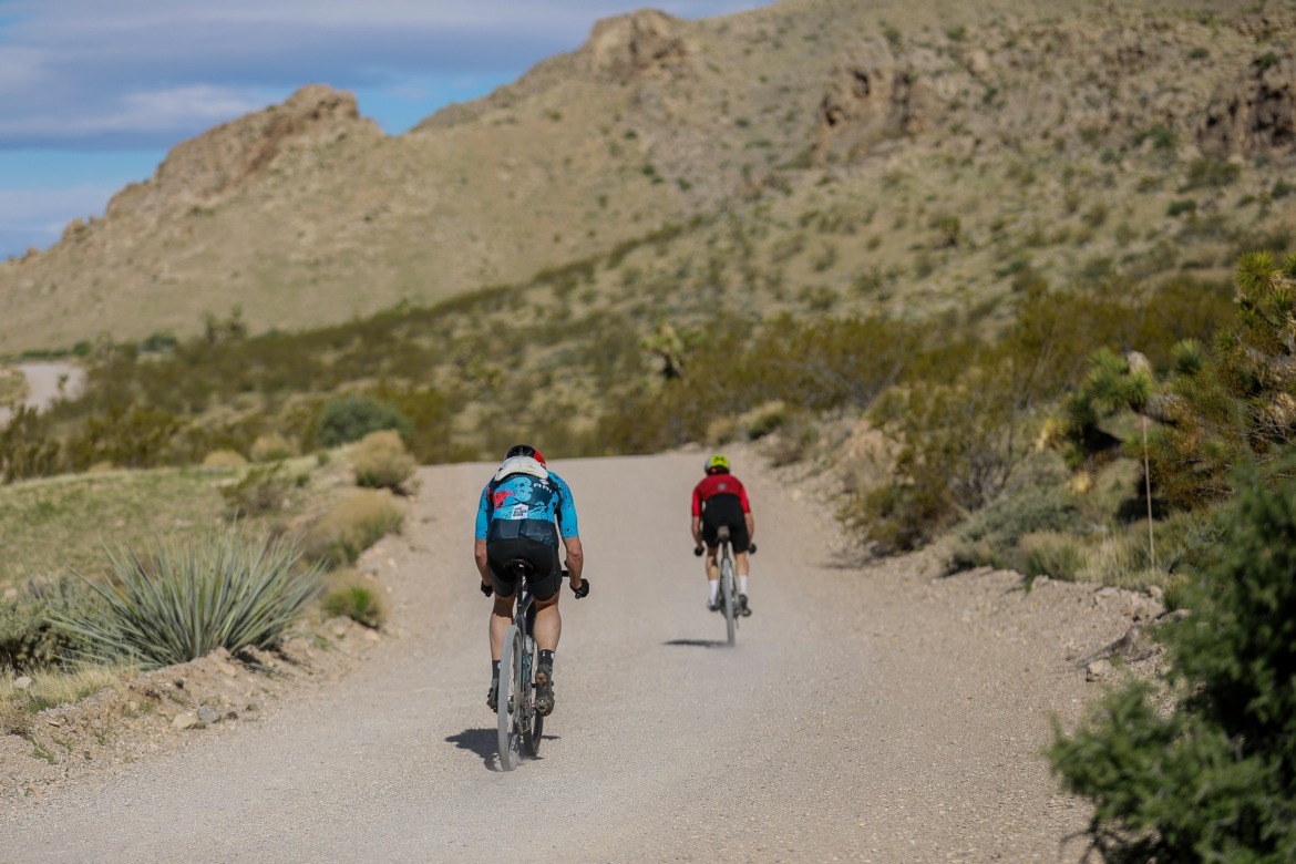
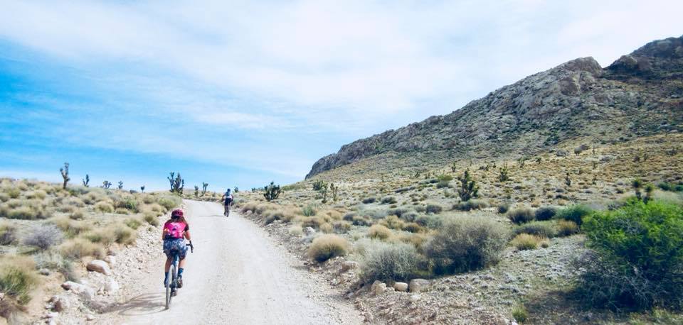
The course drops drown off the hill to connect with Joshua Tree Road/BullDog Pass road. There will be a few more steep climbs before the fast long descent to the Joshua Tree Basin through the Beaver Dam NCA. The scenery through the remote area of the high desert is breathtaking. But keep your eyes on the road and your hands firmly on the handlebars.
When the course reaches SR Old Hwy 91 at mile 32 you will get a break and spin up the tarmac to Lytle Ranch Road at mile 35 and the 2nd Feed. This is the spot where friends and family can cheer you on or provide mid-course support.
The course will follow Lytle Ranch Road to Indian Trail Road at mile 42, then turn north for 15 miles on Indian Spring. Indian Springs has a series of rollers ( called the Rollers of Doom) in the middle as you circle around the west mountain. At mile 52, Indian Springs turns north to drop into a sandy wash before climbing to the intersection with Motaqua Road. Do you go straight at this point or you will end up somewhere in Nowhere Nevada. AT mile 59 you will turn East, away from the strange town of Motaqua, and head down, down, down. This is a very fun and fast 10 miles that should put some pep back in your tired legs. Motoqua road is heavily trafficked, so watch for oncoming recreation vehicles.
At mile 73.5 you will enter the cool shade of the Santa Clara River Corridor for your final Feed stop before the last push on the pavement to the finish. At the Gunlock Road junction travel south to once again connect to Old Hwy 91. Proceed left on the Hwy to the finish in Santa Clara. Please remain single file on the Hwy and obey all traffic rules.
Cut-Offs
There are 3 Cut-Off times
- Feed Zone 1 – Hard Rootbeer Hill 12:15 PM
- Feed Zone 2 – Joshua Tree Forest @ Hwy 91 & Lytle Ranch Road 2:15 PM
- Finish.
- all riders must finish by -6:00 PM ( 6:32 sunrise, 6:55 sunset)
If you can not make these time cut-offs consider turning around or arranging for a ride at Feed Zone 2.
Bad Weather Plan
Because this route travels over 4500 ft through areas that can potential receive snow or heavy rain, we reserve the right to change or modify the course for riders safety. Riders should also be prepared for changing weather conditions as the temperatures and conditions can change drastically between areas on the course.
The Sweet Stuff - 64 Epic COURSE DESCRIPTION
The “Sweet Stuff” 64 is a modified version of the True Grit Gravel. Instead of heading south to Curly Hollow, you will head west on Hwy 91 and climb Utah Hill to Feed 2, then proceed on the normal course.
- There is no mass start for this distance. There is an open start window
- You will on be timed on Segment 2
